LiDAR Mapping
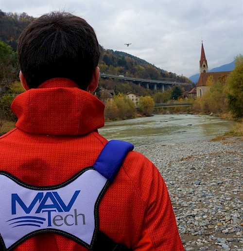
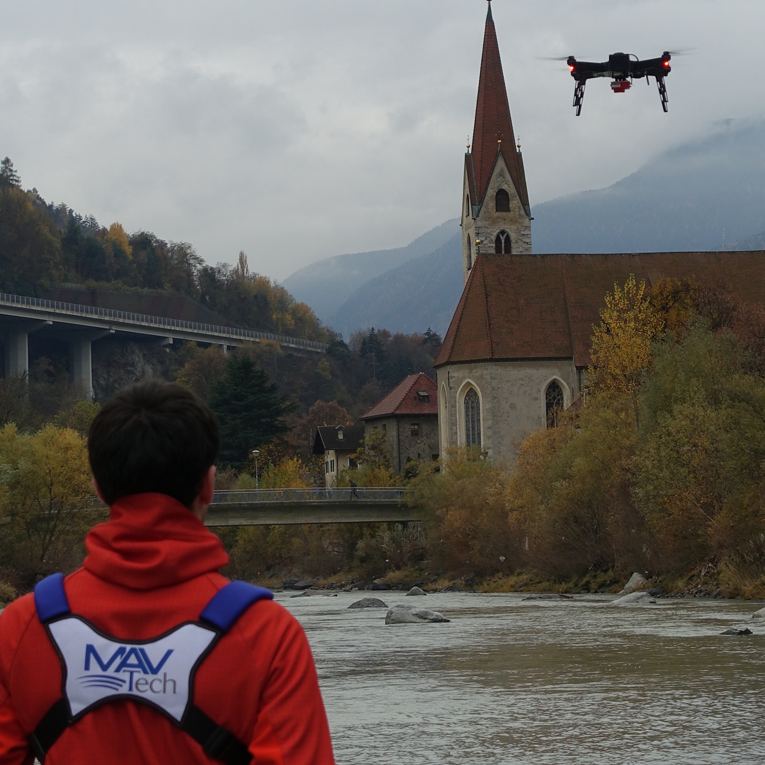
MAVTech provides LiDAR drone survey services for multiple applications, including 3D point cloud generation and reconstruction of DEM, DTM and CHM models.
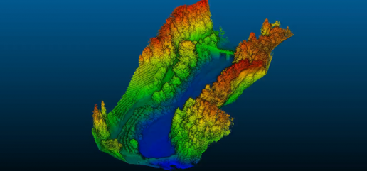
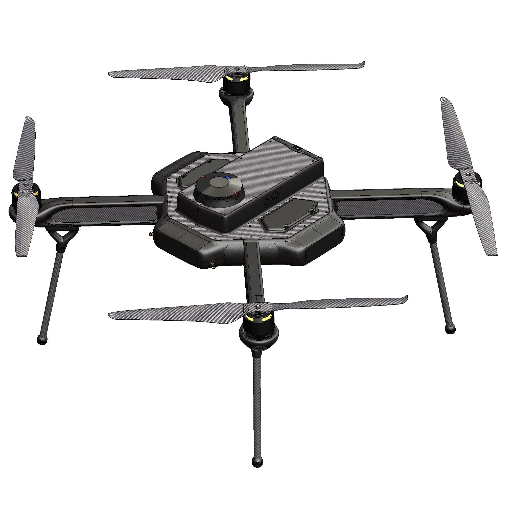
Light Detection and Ranging (LiDAR) sensors are commonly used for the three-dimensional reconstruction of urban areas, forests and infrastructures. Acquisitions with LiDAR, with the help of GNSS and inertial (IMU) systems, allow the accurate geolocalization of every single recorded point and the generation of 3D models such as Digital Elevation Model (DEM), Digital Terrain Model (DTM) and Canopy Height Model (CHM). An important property of LiDAR sensors is the possibility to acquire a lot of data at the same time through the different laser scanners that make up the laser head of the instrument. In this way, the sensor acquires a large amount of points in three-dimensional space by rotating, ensuring a density up to 600 pt/m^2 and very accurate resolutions (~5 cm) that vary with respect to the flight altitude and cruising speed of the drone.
Contact us for more information on the types of services offered!