Survey with RedEdge and LiDAR in Chiusa (BZ)
Survey in Chiusa for WEQUAL project
Drone / s:
Sensor / s:
- Micasense RedEdge M
- LiDAR Yellowscan
Radio / s:
DESCRIPTION
As part of the project funded by the Autonomous Province of Bolzano, through the European Fund FESR, the MAVTech team went on 9-10 November 2018 in Chiusa / Klausen (BZ) to carry out surveys with the aim of obtaining data to be developed for the creation of vegetation vigor maps and 3D terrain models.
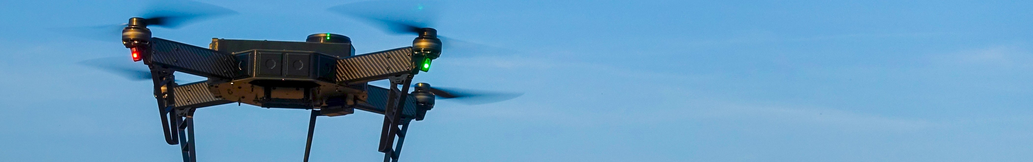
The flights were performed by the experienced MAVTech pilot Fabio with the drone Q4E designed and developed entirely within the company. The drone mounts the Micasense RedEdge M multispectral sensor, dedicated to the acquisition of images in the 5 spectral bands of red, green, blue, near-infrared and infrared. The images obtained are processed by the Pix4D software for creating the orthophoto by mosaicking.
A second flight was carried out by piloting the DJI S900 drone, which is able to carry more heavy sensors like the LiDAR Yellowscan instrument. The data acquired through the LiDAR sensor are showed as a point cloud, which represent the "echoes" of the laser pulses that the mounted sensor is able to transmit and receive.
The integration between multispectral data acquired with Micasense RedEdge camera and the information acquired and elaborated by LiDAR Yelloscan is possible to provide a wide range of information including:
- a digitized map of the land (DEM);
- an RGB map;
- information on the health of vegetation in the area (i.e. NDVI index);
- further types of mapping.
Through the acquisition of the multispectral data and the LiDAR data thnks to the sensors indicated in the blog and mounted on drones specially developed by MAVTech, it is possible to process the data through algorithms and dedicated software to generate particular information maps. This information is frequently used in precision agriculture and aerial photography.