
Presentation of the WEQUAL project: the technology served to the purpose of the sustainable development of the territory
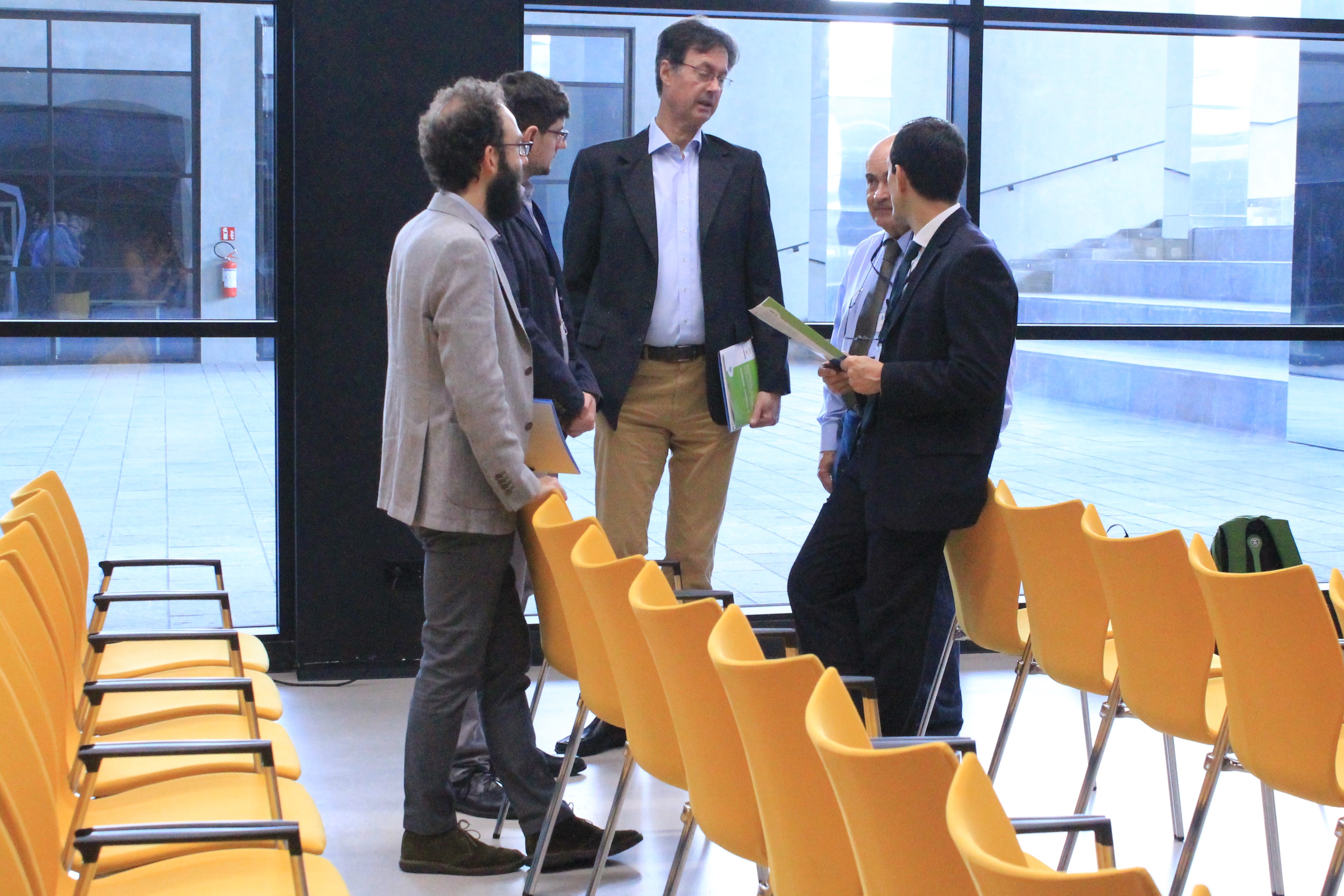
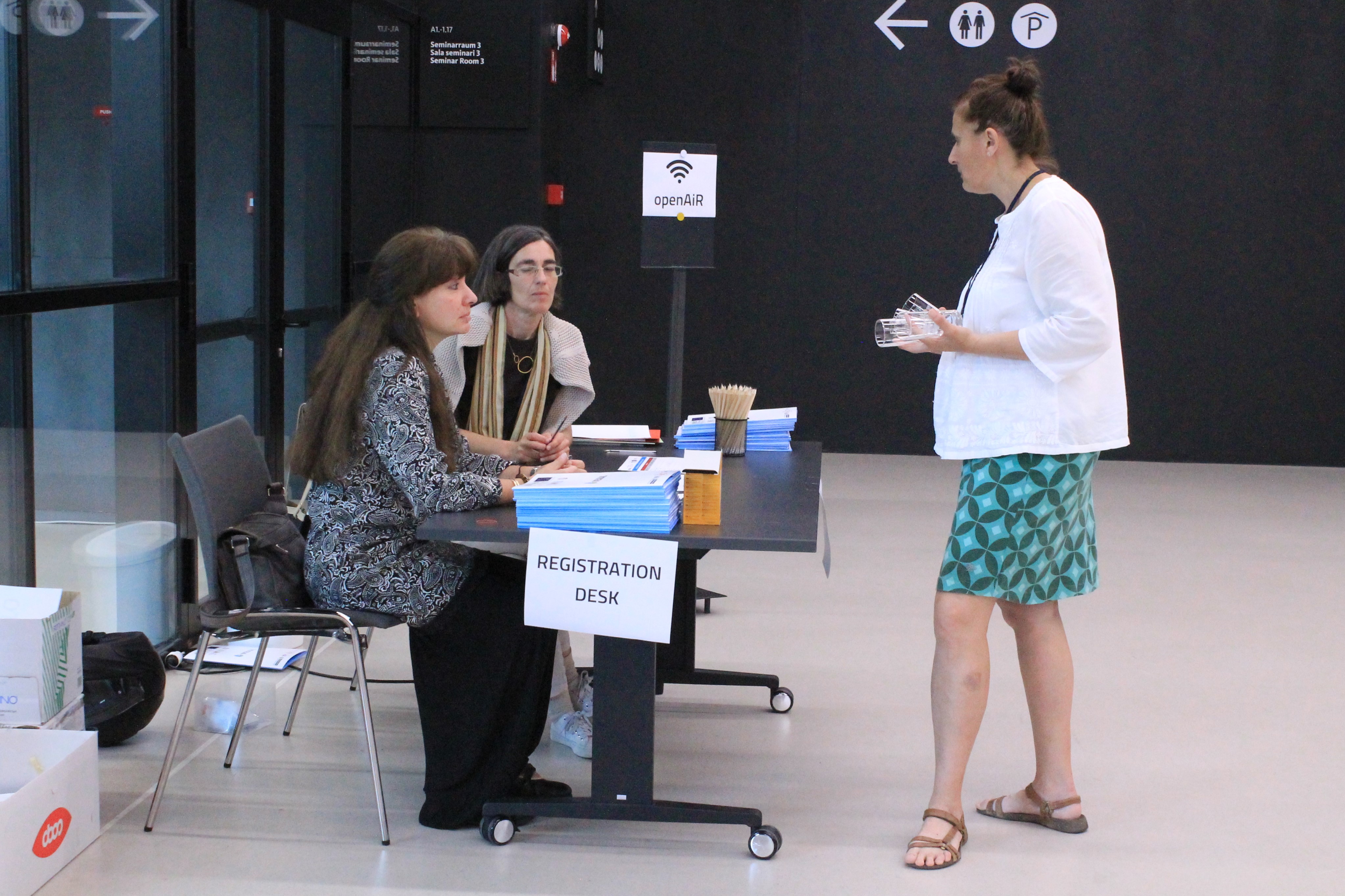
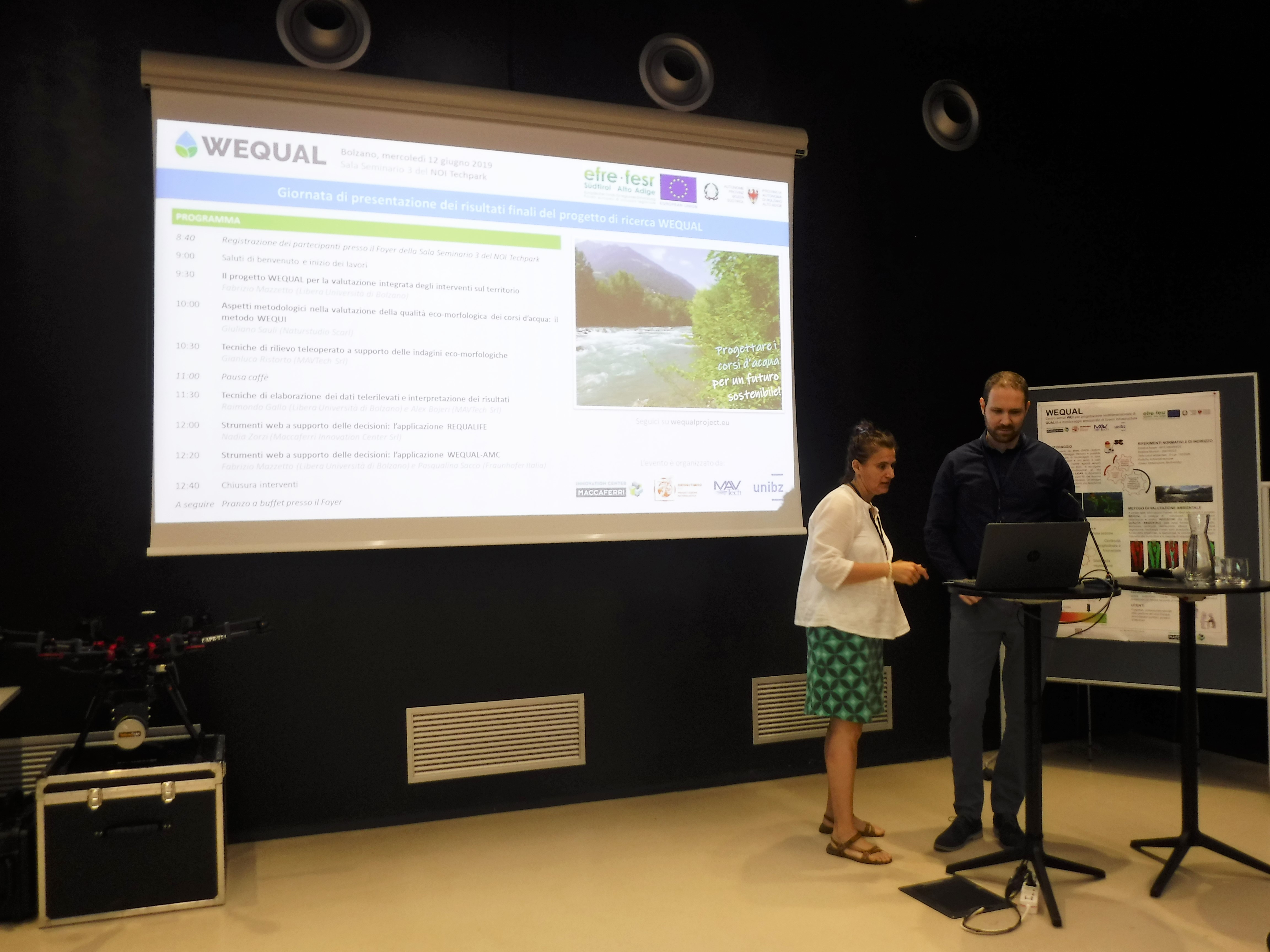
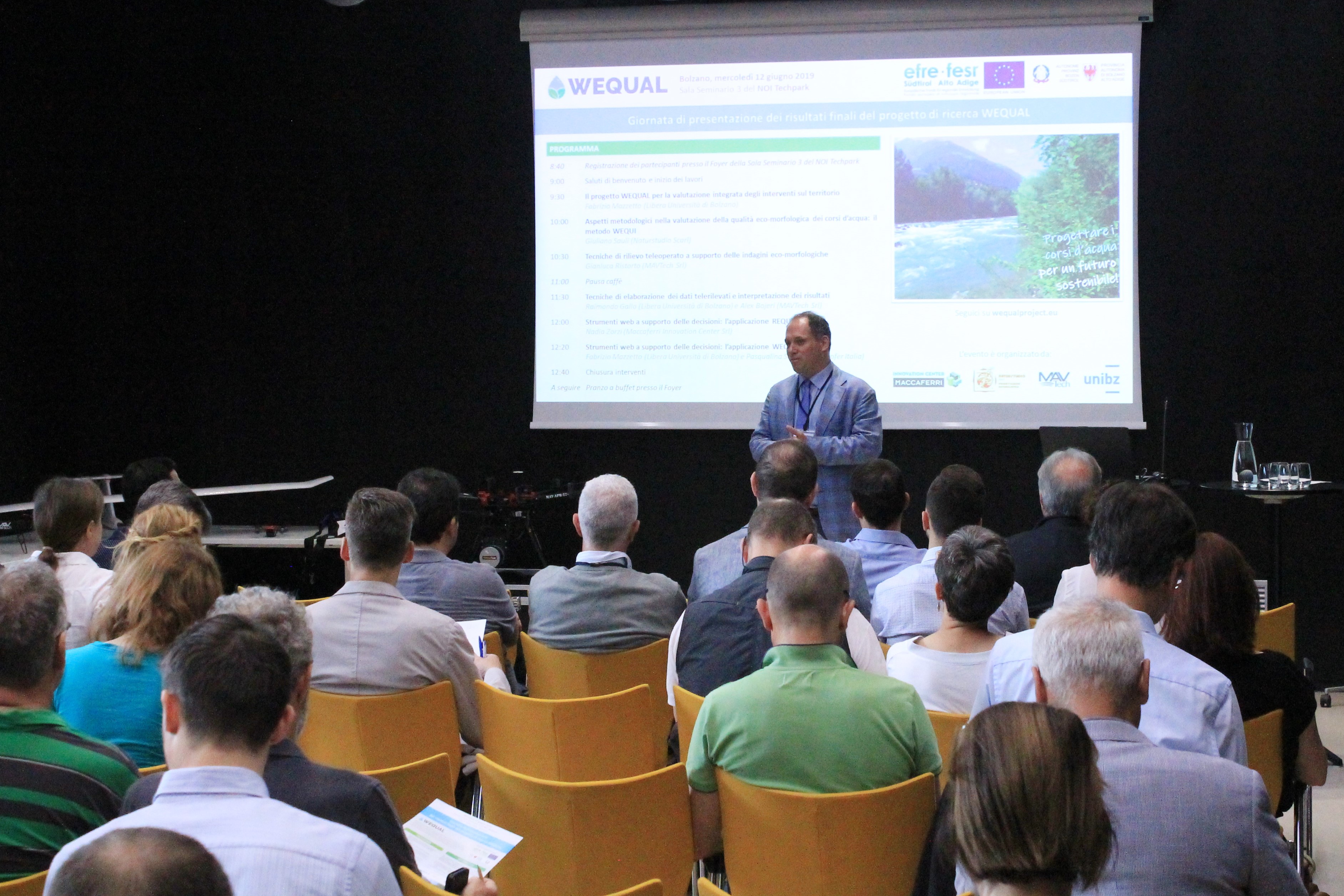
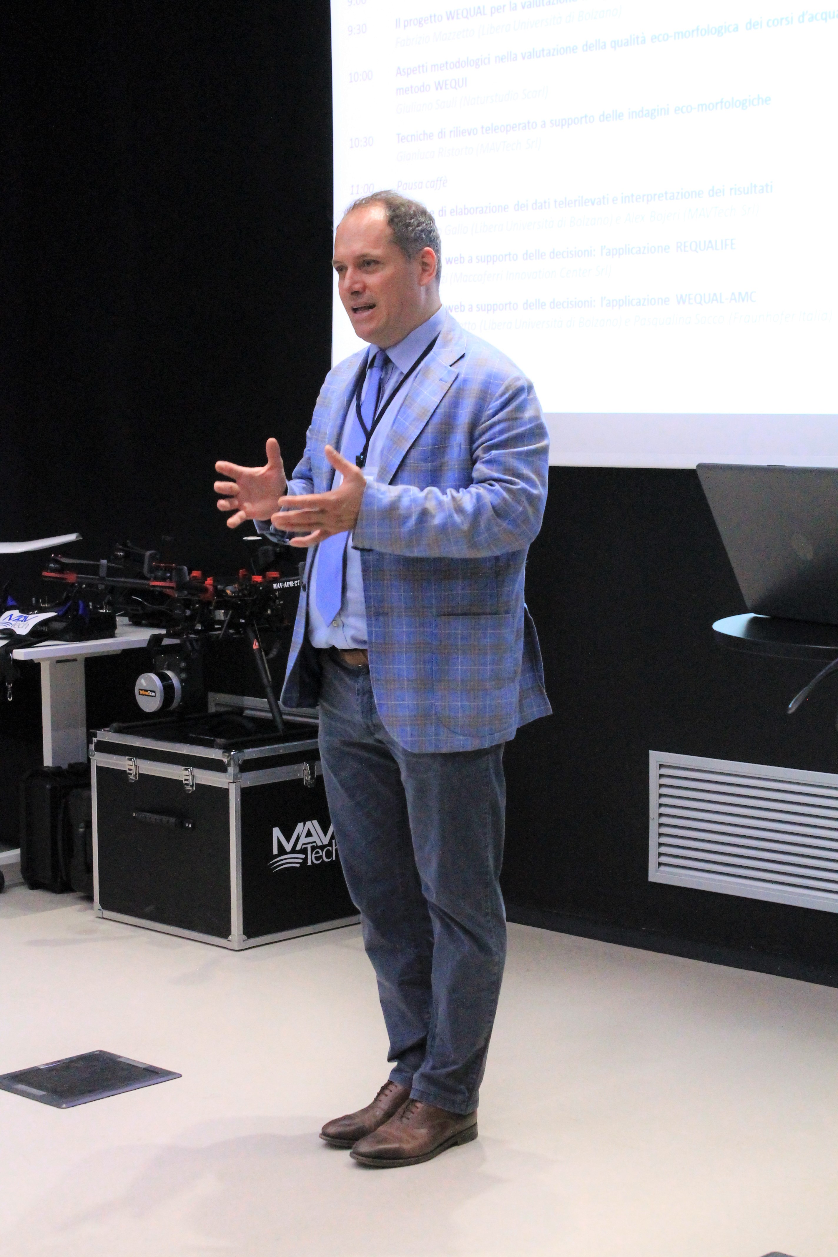
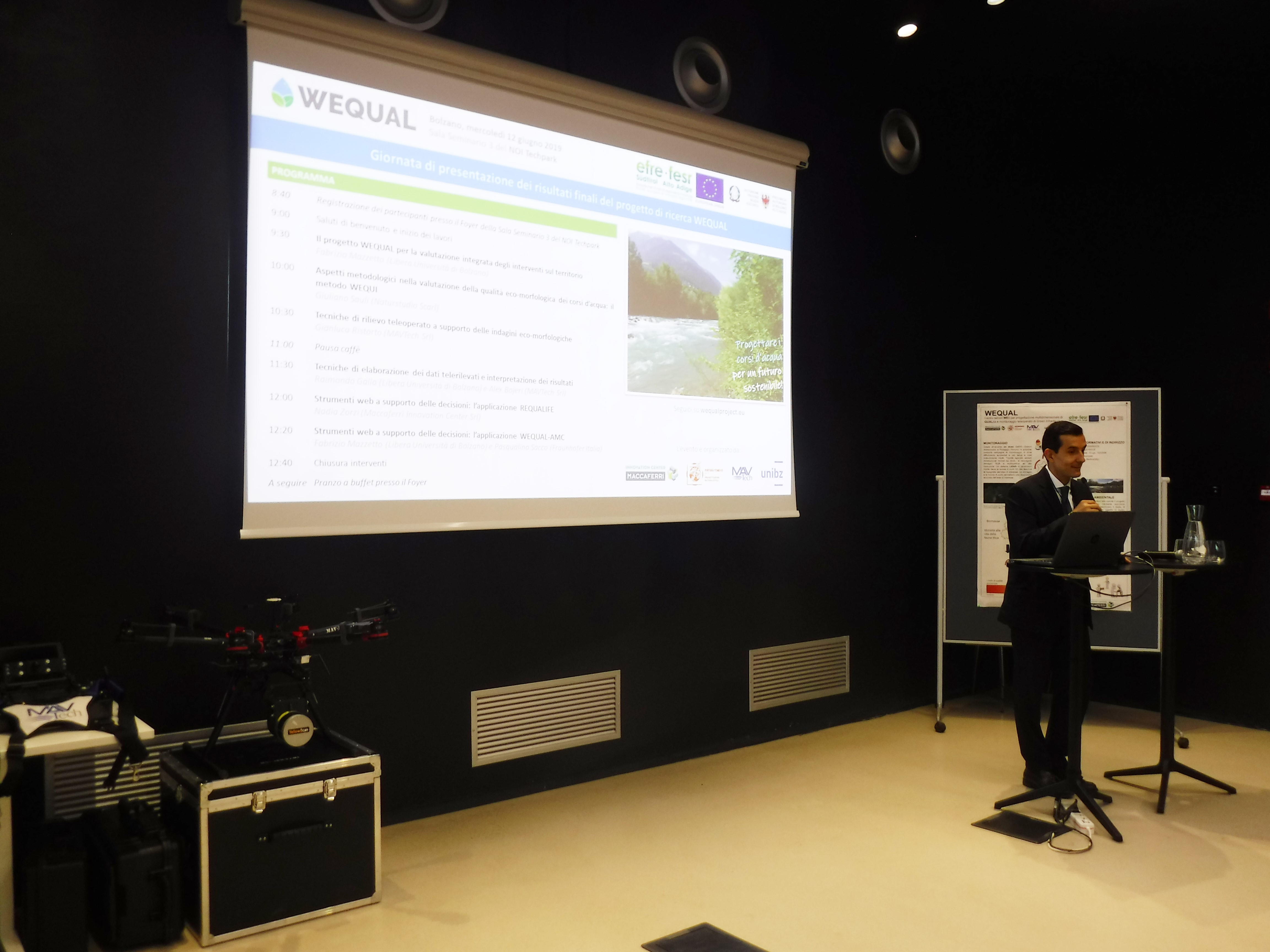
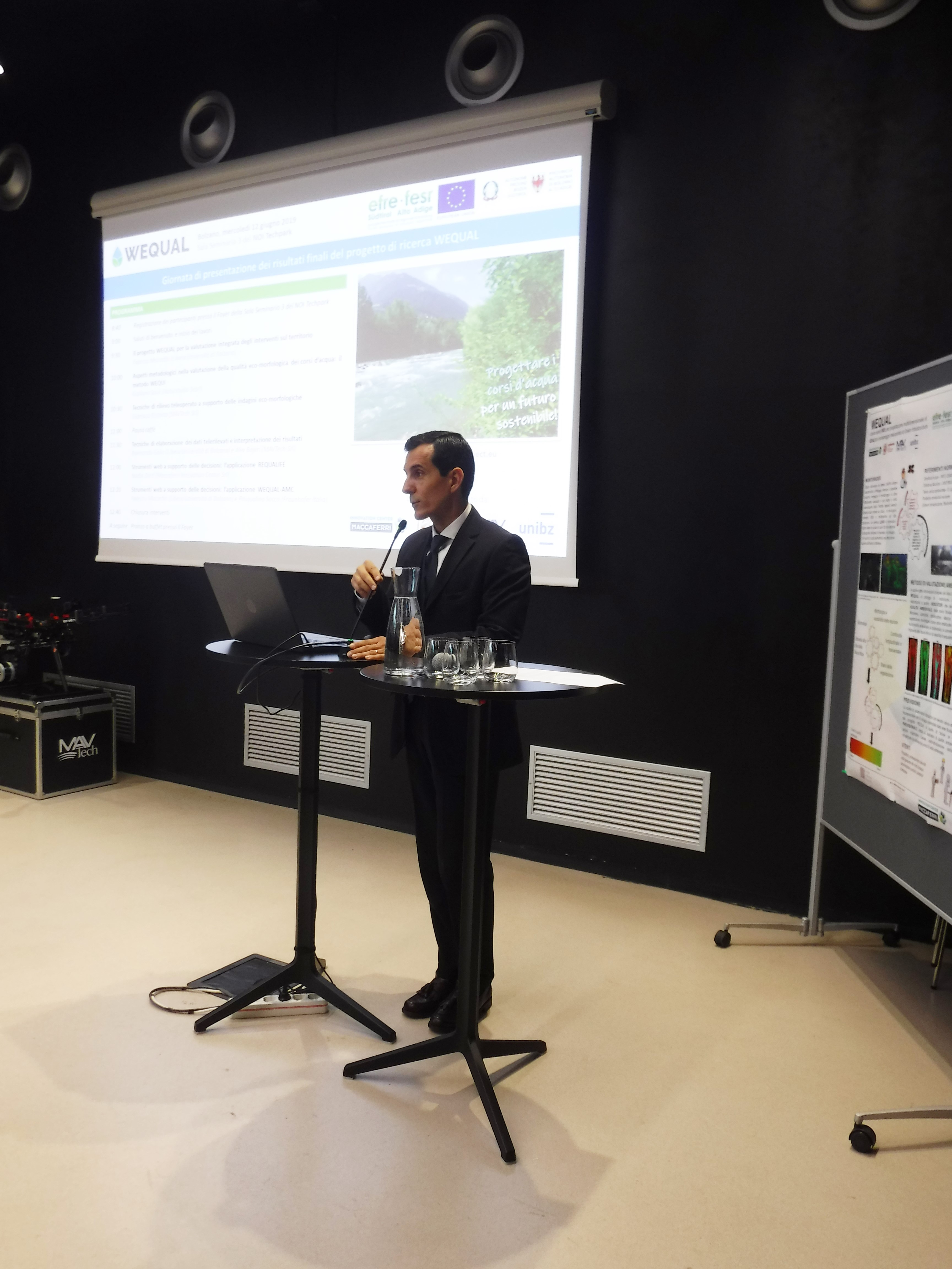
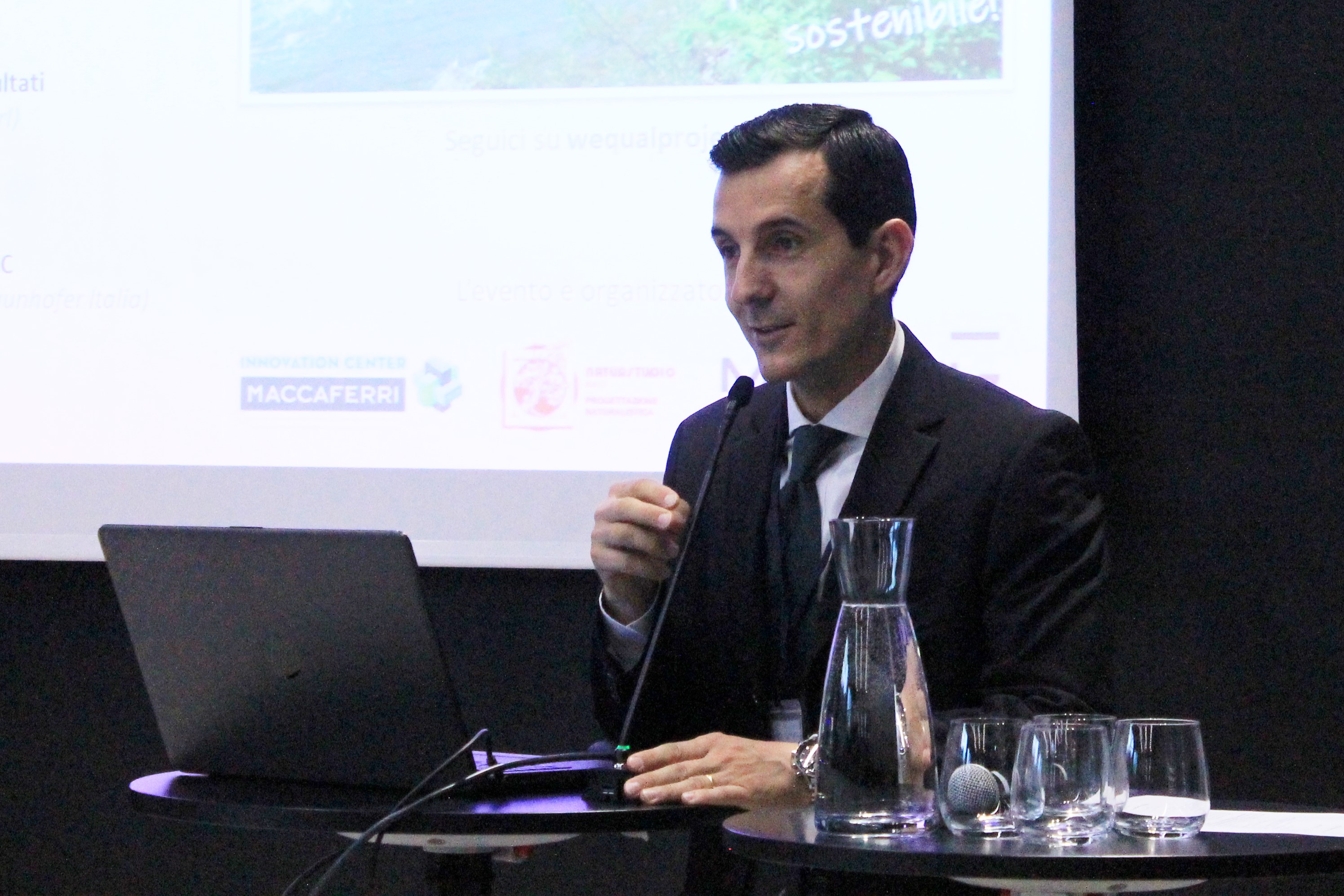
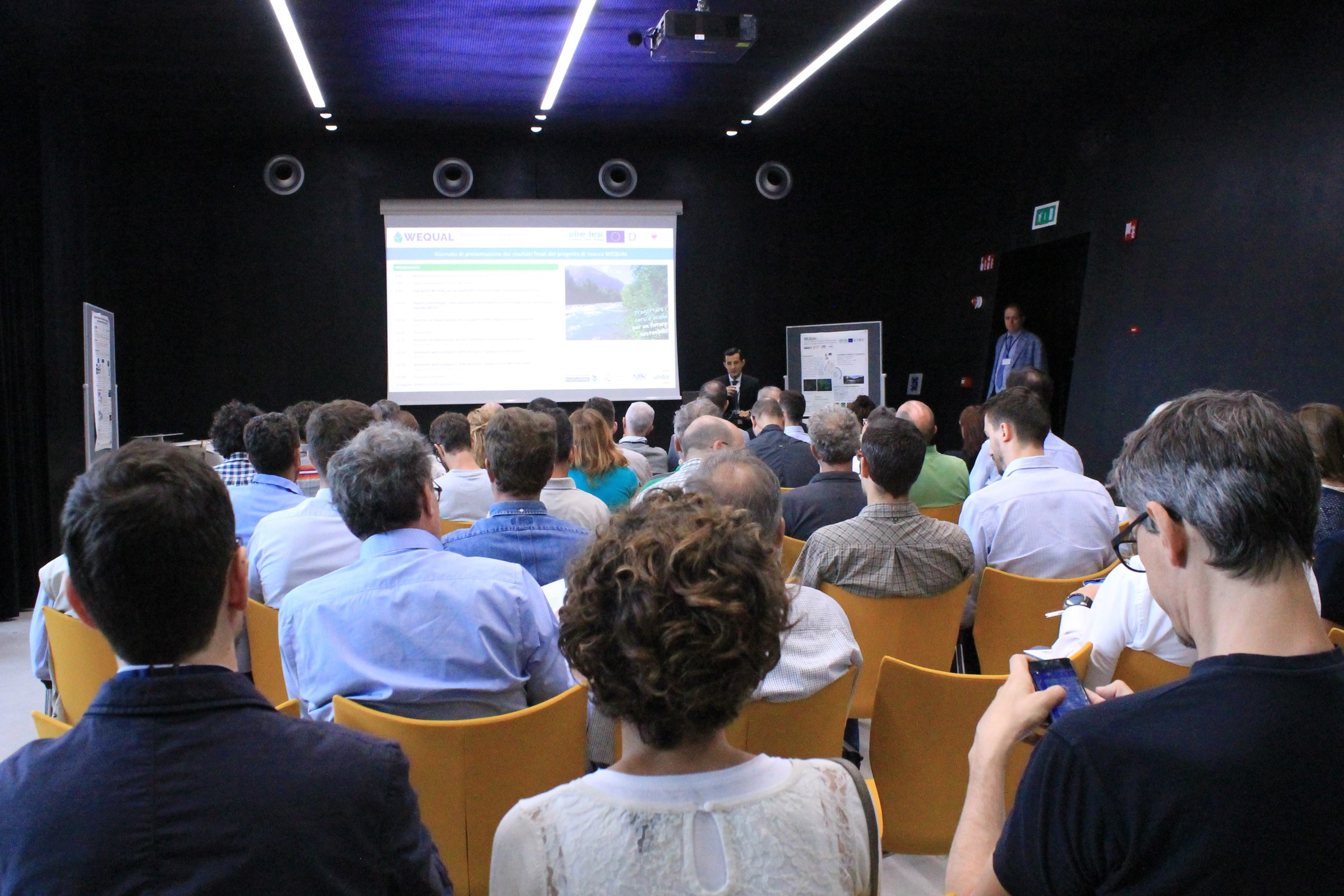
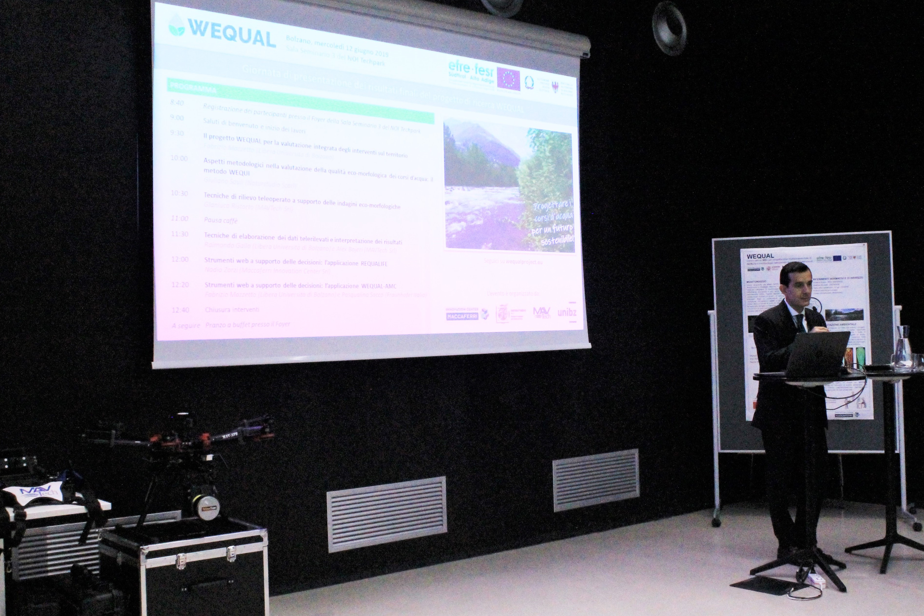
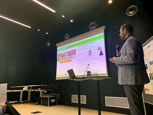
On the morning of Wednesday, June 12, 2019, the conference presenting the final results of the FESR research project WEQUAL "WEb Service Centre for Multidimensional Quality Design and Tele-operated Monitoring of Green Infrastructures" (wequalproject.eu) was held at the NOI Techpark in Bolzano.
Speakers included Fabrizio Mazzetto, Professor of Mechanics and Agricultural Mechanisation at the Free University of Bozen/Bolzano, Dr. Giuliano Sauli of Naturstudio, Gianluca Ristorto, aerospace engineer at MAVTech s.r.l., Raimondo Gallo, researcher at the Free University of Bozen/Bolzano, Nadia Zorzi, researcher at the Maccaferri Innovation Center and, finally, Pasqualina Sacco, researcher at Fraunhofer Italia Research.
The project has seen the collaboration of Maccaferri Innovation Center, a young, multidisciplinary and highly qualified research team, MAVtech, a spin-off company of the Politecnico of Turin for the provision of high-performance and customized technical solutions, Naturstudio, a company that operates in the field of environmental assessment and naturalistic engineering and the research group of the Laboratory of Agroforestry Innovation of the Free University of Bozen/Bolzano.
It is, therefore, the result of a multidisciplinary approach, which has required the contribution of experts from different scientific fields.
The entire project, started in 2017 and is the product of the willingness of the partners to bring human interventions on the environment in line with the recent recommendations of the European Commission in terms of sustainable development of the territory and Green Infrastructures.
In fact, the partners of the WEQUAL project have worked in close synergy with each other to give a concrete response to these emerging needs with the specific aim of creating an information system, accessible via the web, to support the sustainable design of interventions of accommodation and safety of waterways.
The web system integrates a set of evaluation tools that allows to make projections for the future, accurately calculating the environmental effects of interventions on watercourses already realized or still to be realized.
If, for example, a waterway has banks in erosion, it will be necessary to intervene with techniques of bank settlement. This can be achieved by traditional techniques or by using naturalistic engineering techniques that support the growth of vegetation. The method provided by the system will help to predict the level of environmental impact of each intervention, thus guiding the choice of designers.
The innovation of this system lies in the possibility of adopting a multi-criteria analysis of interventions on watercourses, i.e. to assess the impact of such interventions, not only from a strictly technical-environmental point of view, but also economic and social in the short and long term, taking into account the now inseparable relationship between the environment, the established society and the individual. In this way, it will be possible to take into account, for example, the timing of the work to carry out the interventions, the feedback from the residents and the need for any expropriation of land.
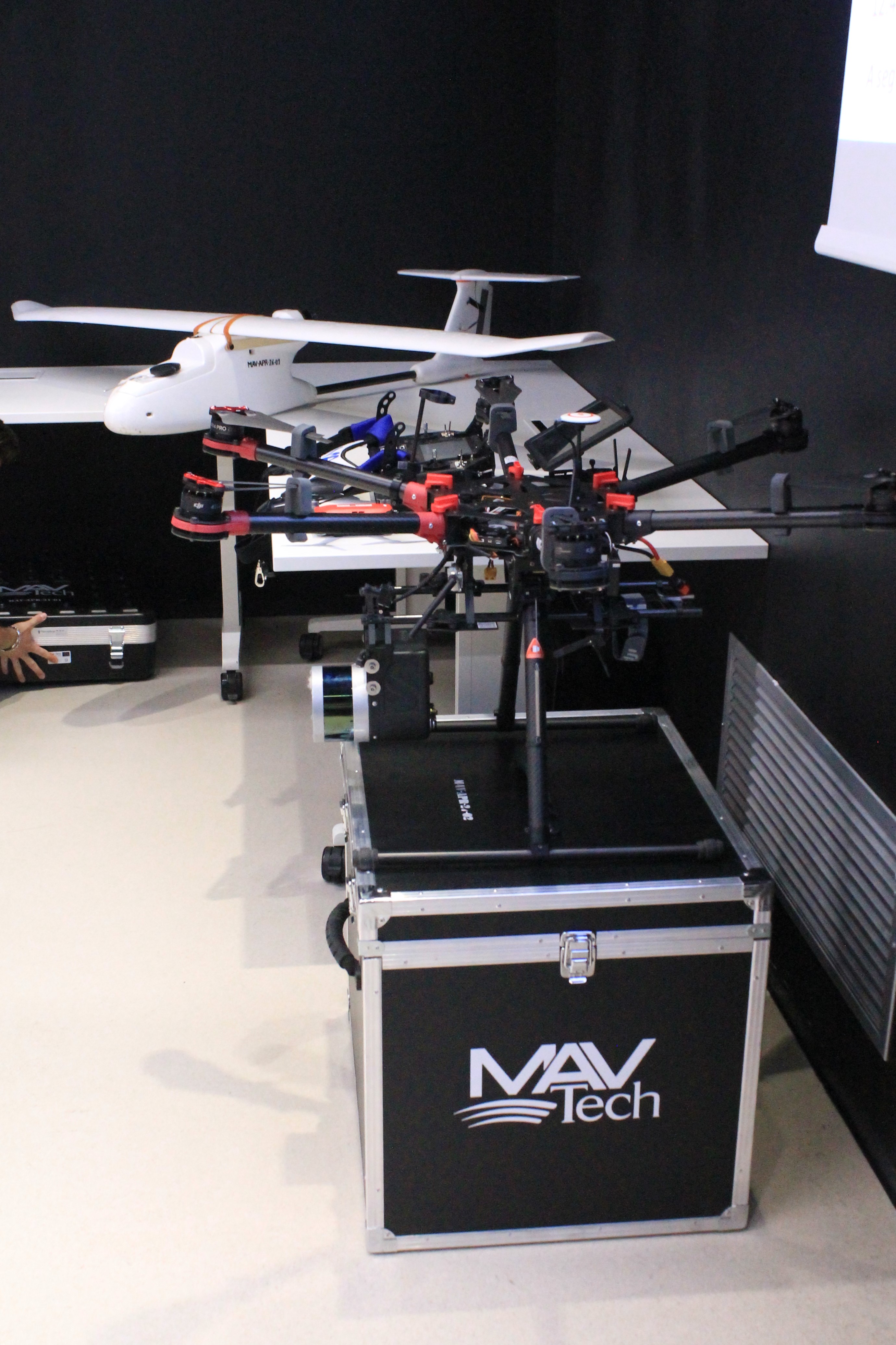
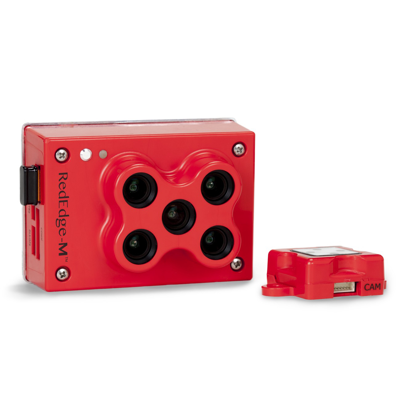
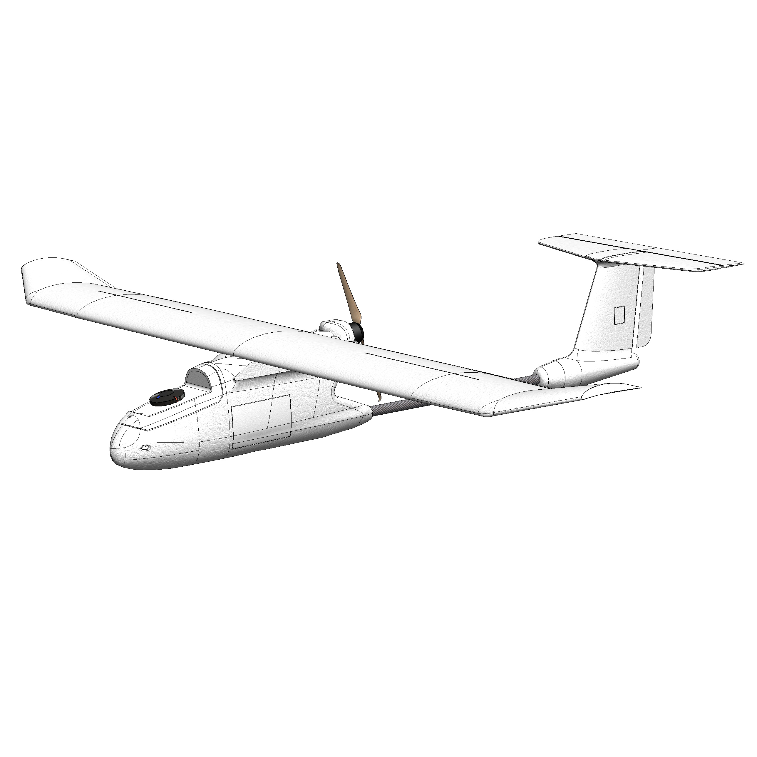
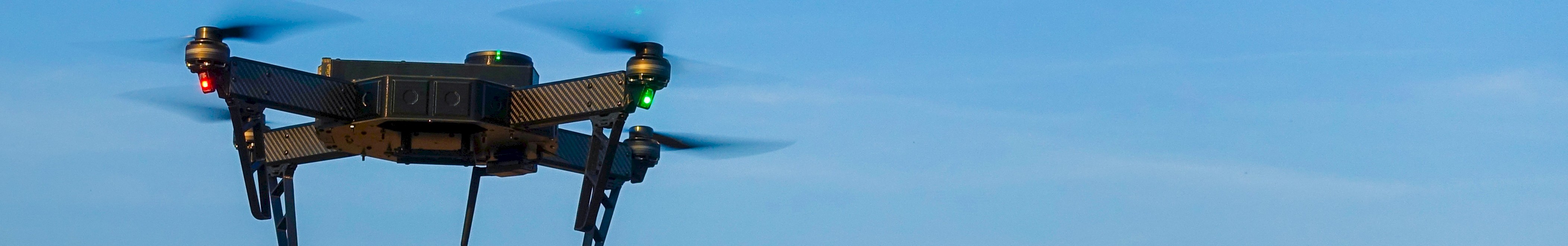
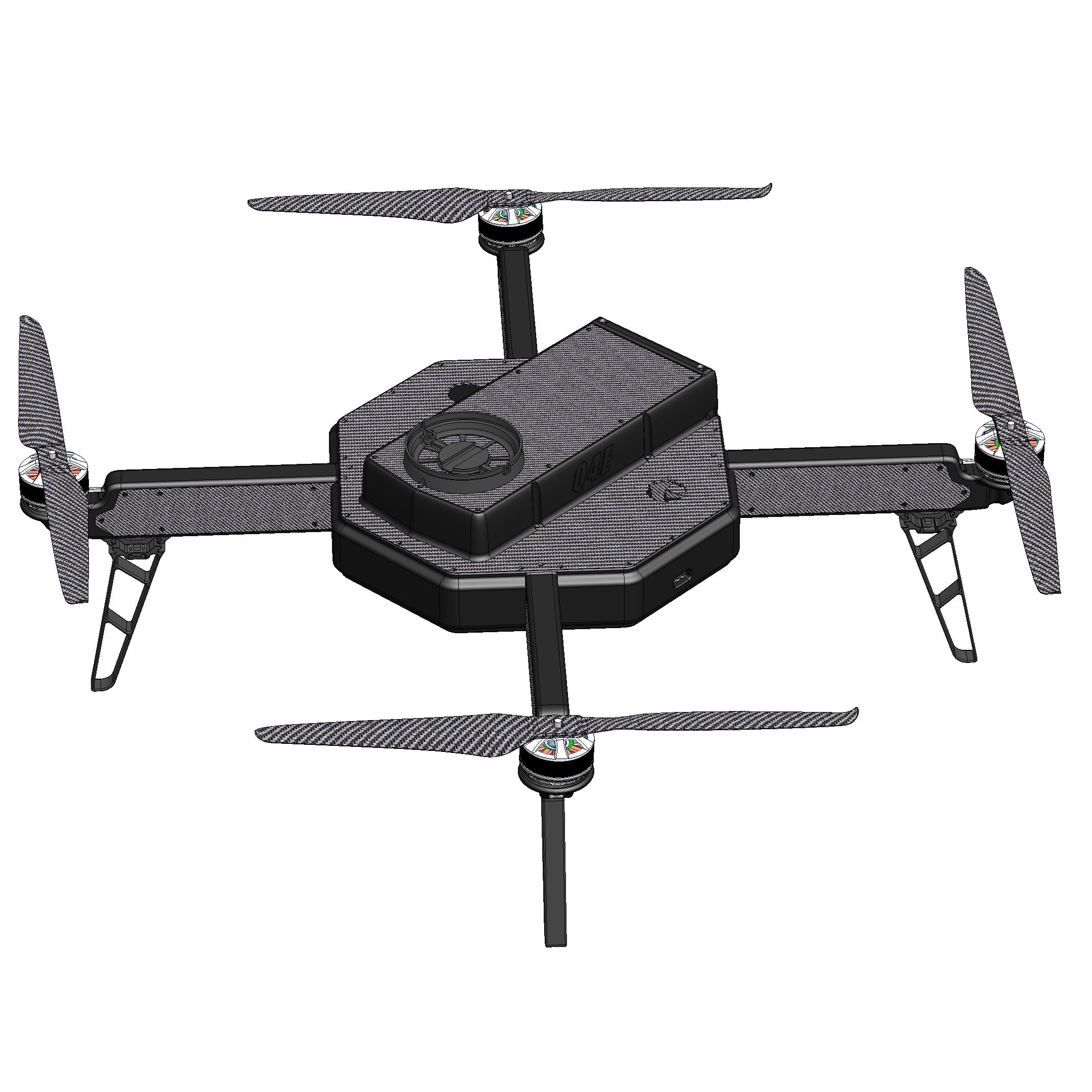
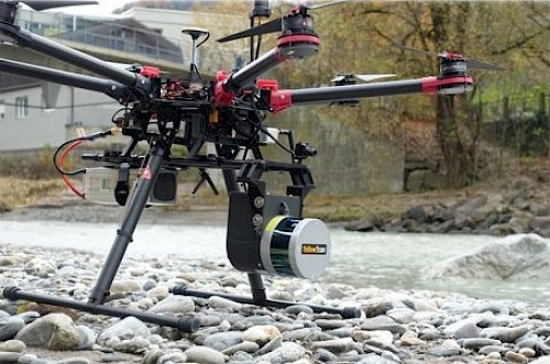
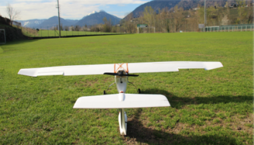
Innovative, however, are also the systems of evaluation of the naturalistic-environmental effects, which consist in the application of fifteen eco-morphological indicators that can be detected by drones specifically created. The drones are equipped with different types of optical sensors that allow to investigate at various levels of detail the territory concerned. The system is then equipped with a database of typical effects, in which the results achieved and the experiences gained during the project are collected and which will be used by future users to estimate the sustainability of their design hypotheses. In the initial phase, this database will be made up of case studies carried out during the project on six watercourses: the Adige, the Rio di Tel, the Rio Saltaro, the Rio Tina, the Isarco and the Passirio.
Ultimately, the platform developed within the WEQUAL project allows experts, professionals and public administrations to identify design solutions that are not only effective, but also efficient from an environmental point of view, thus restoring a safe territory and environmentally sustainable interventions to the entire community.
VISIT OUR PRODUCTS SECTION FOR MORE INFORMATION ON RPAS AND SENSORS.
Pictures courtesy of Maccaferri Innovation Center